Playa Ensenada del Esparto - La Manga del Mar Menor Beaches
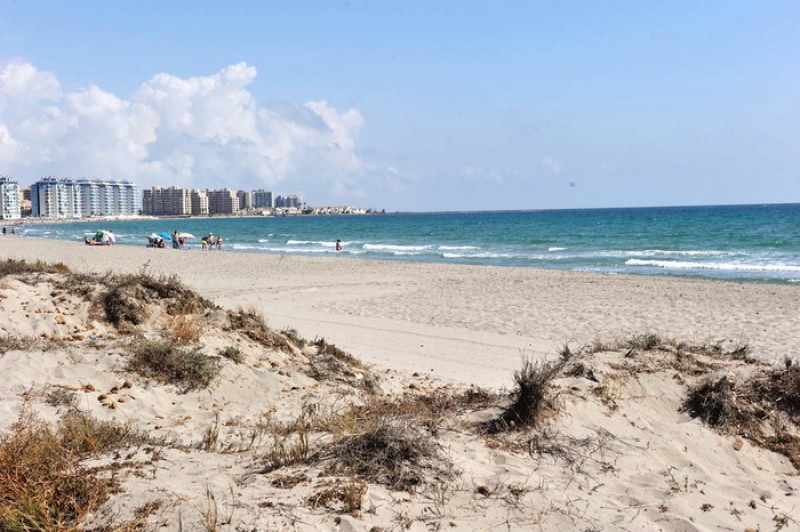
A 2.6-kilometre long Mediterranean beach with Blue Flag status in La Manga
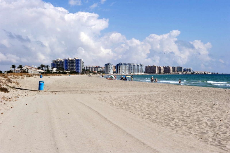
Playa Ensenada del Esparto is a vast semi-urban beach which runs down a fairly low density area of La Manga del Mar Menor at the northern end of the spit between kilometres 16.3 and 13.9.
It’s so huge that there is always lots of space on the 2,600-metre stretch of sand which is an average of 20 metres in width, all of it consisting of lovely natural fine Mediterranean greyish sand. Ensenada del Esparto is one of the finest examples in Spain of a natural Mediterranean beach, with a long shore and rolling waves, and in recognition of this and the quality of services provided it boasts the prestigious Blue Flag year after year.
There is plenty of parking alongside, and services and facilities include telephones, bins, beach grooming service, wooden walkways, beach chiringuitos, footwashes, disabled access, scuba diving and lifeguards.
Access: a bus service runs right along the length of La Manga throughout the day, with several stops near the beach, and there is generally plenty of parking in the built-up area except at times in July and August.
Click for more information about La Manga del Mar Menor.
The Mediterranean beaches of San Javier
San Javier has two distinct sections of beaches, one being in Santiago de la Ribera on the shore of the Mar Menor, close to the main centre of San Javier town, and the other on the opposite side of the Mar Menor on the spit of land called La Manga de Mar Menor (or "the strip", as it is often referred to by holidaymakers), where there are both Mar Menor and Mediterranean beaches.
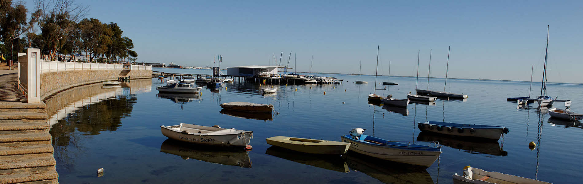
It is important when choosing a beach to understand that the Mar Menor beaches offer shallow and calm bathing conditions, whereas the Mediterranean beaches are wider, longer, windier, and are susceptible to wave conditions and currents.
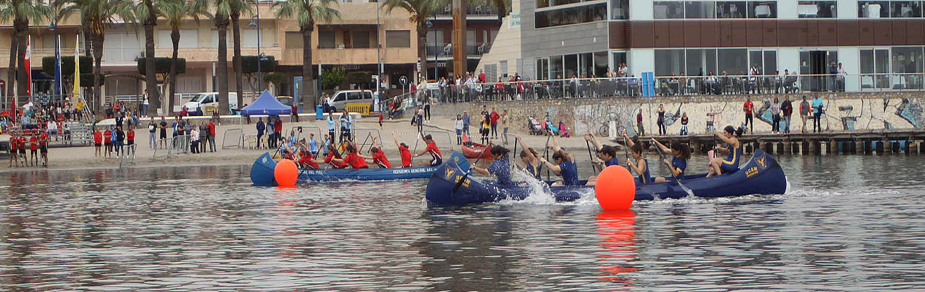
The internal area of the Mar Menor is divided among several municipalities, or local councils. The La Manga strip is divided into two sections for administrative purposes, although there is no geographical difference, the northern end belonging to San Javier and the lower section which limks with Cabo de Palos falling within Cartagena.
Almost the entire length of La Manga del Mar Menor is lined with holiday apartments, hotels and summer properties, although it does also have a significant year-round residential population. But towards the northern end the land narrows, and the concentration of properties is lower, so the beaches are emptier.
The location of La Manga del Mar Menor beaches is generally defined by kilometre reference. Kilometre 0 is the tourist information point at Cabo de Palos and km 18 is the far end of La Manga by the Esculls de la Llana y Encañizadas, which is where dry land runs out! The northernmost end of the strip is marshy and largely inaccessible, before it finally just fails to join up with the salt flats of San Pedro del Pinatar.
Click to see an overview of the beaches in San Javier, or to go to the home page of San Javier Today for more local news, events and other information.
article_detail
|


 Welcome To